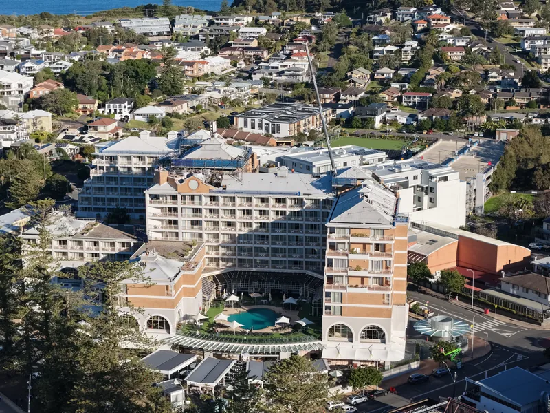
Aerial photography
Show where a property sits in the neighbourhood, photograph a stretch of coastline, or record how a site looks at each stage of a build.
Enquire about photography
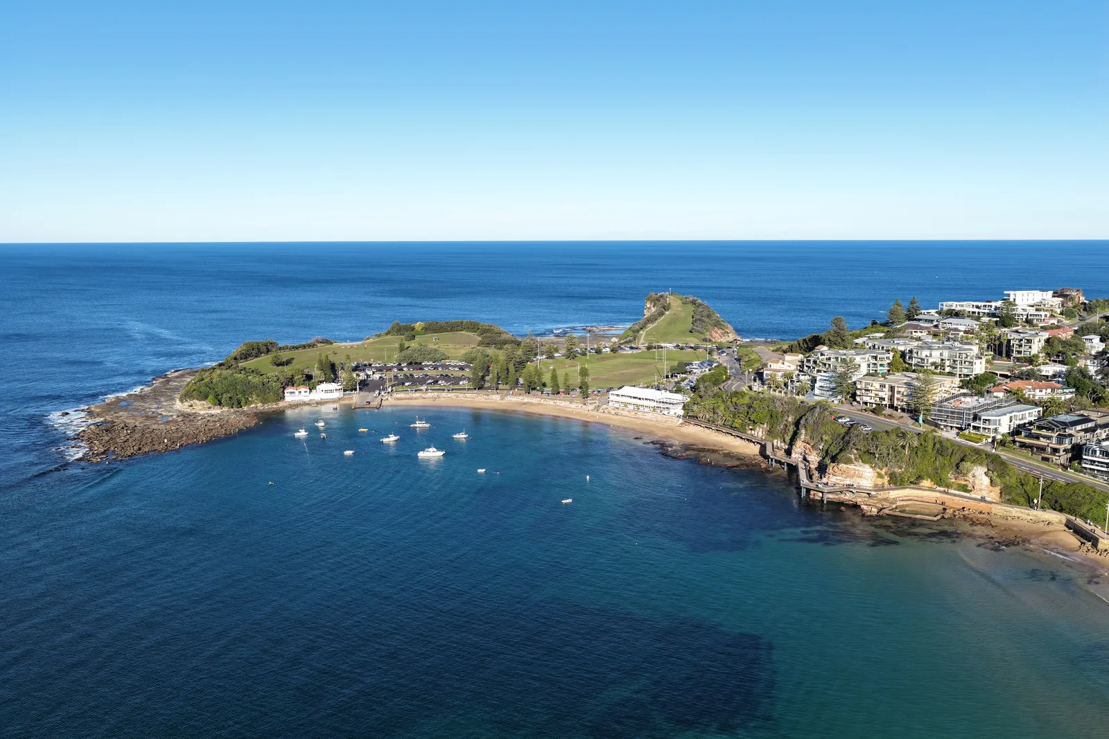
Show where a property sits in the neighbourhood, photograph a stretch of coastline, or record how a site looks at each stage of a build.
Enquire about photography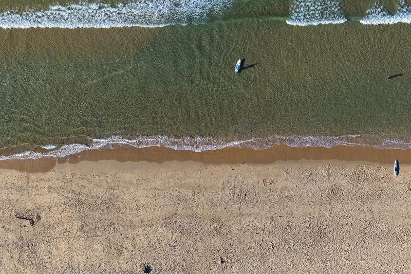
Overhead photograph
Get an overhead map of the whole site. Use it to show your team where access roads and buildings are, or to see what's changed since the last flight.
Enquire about mappingSend the site address or nearest town and tell us what you need from the flight. If you have a rough date, include it.
info@avioiris.com.au